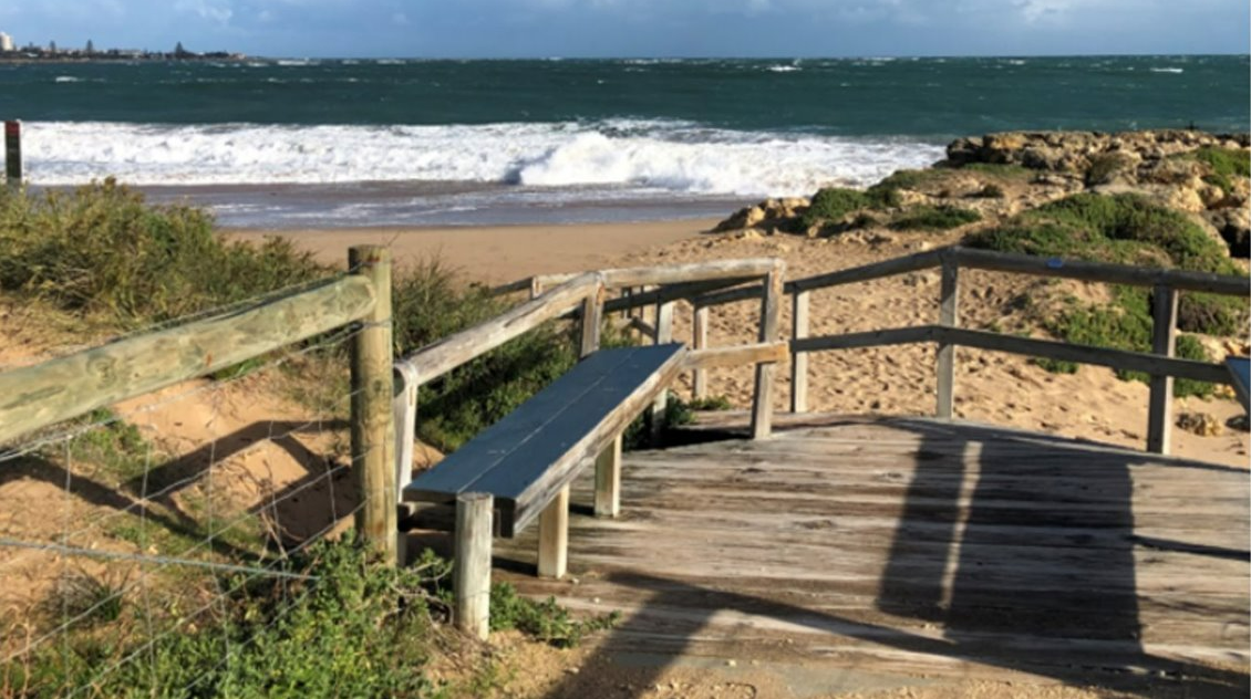
Community members are encouraged to provide feedback on a draft plan aimed at managing the impacts of changing coastlines along Mandurah’s northern beaches.
The draft Coastal Hazard Risk Management and Adaptation Plan (CHRMAP) has been developed by expert maritime and coastal engineering firm GHD, with previous input from the local community about their values and priorities for beaches from Halls Head to Madora Bay. More than 50 residents provided input to the plan which, once finalised, will become a guiding document for how the City of Mandurah and the State Government plan for the future of local beaches, and the communities that live, work and play in these areas.
Mayor Rhys Williams said the City had been working with the local community to educate on the possible risks to coastlines and nearby assets, understand what the community values about coastal areas, and ultimately develop the CHRMAP framework to guide how coastlines are managed into the future.
“With coastlines naturally changing over time, it’s vital for us to identify, plan and prepare for any immediate and long-term risks which may impact the way we use these areas in the future,” he said.
“Community input has been integral to preparing for how we respond to these changes, pinpointing what people value most about our coastal areas so we know where to direct our attention.
“This is a long-term challenge that relies on significant scientific expertise as well as successive governments understanding potential impacts of both a changing coastline and the available interventions; and importantly, our community’s priority and position on these.
“The draft CHRMAP out for comment identifies how vulnerable Mandurah’s northern beaches, nearby developments and community assets are to coastline hazards, including flooding and erosion.”
Assets include both built and natural elements which provide a range of values to the community including social, environmental, economic and heritage. The plan provides long-term strategic direction while identifying risks and required decision making in the shorter term, and will also help the City to manage and plan for future land use
and development with changing coastlines.
The community is being encouraged to view the CHRMAP Executive Summary, or the full CHRMAP report, at mandurahmatters.com.au/CHRMAP and answer a short, three-question survey. The survey and community consultation phase will be open until Monday, October 10, 2022.
The feedback received will be included in a report to Mandurah Council in October, before a 10-year action/implementation plan is drafted for Council to consider. To find out more about the project, read the Executive Summary, and for Frequently Asked Questions and other helpful documents, go to mandurahmatters.com.au/CHRMAP

