Table of contents
Mandurah’s coastline and RAMSAR-listed waterways provide beautiful places for people to connect with nature. But they are sensitive environments. Protecting them ensures future generations can continue to enjoy everything that makes Mandurah special.
The City manages these environments through three key priority areas in the Environment Strategy:
Coast and foreshore management
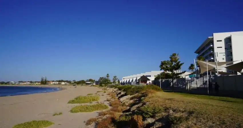
Our beaches and foreshores are dynamic environments that constantly change. We work to understand these changes and protect the coastline from erosion, climate impacts, and a growing population by carrying out:
- Planned dredging to remove built‑up sediment from channels
- Annual sand bypassing (conducted by Department of Transport and Major Infrastructure) to support the natural flow of sediment along the coast
- Beach access maintenance
- Foreshore upgrades and infrastructure care
- Coastal revegetation to reduce erosion and support wildlife
 (1).webp?language=en)
Peron‑Naturaliste Partnership
Mandurah is a founding member of the Peron‑Naturaliste Partnership, a regional collaboration between local governments to better understand and respond to coastal hazards and climate change along the coastline. Through the PNP, we partner on scientific studies, coastal hazard assessments, and coordinated adaptation planning that helps us protect Mandurah’s northern and southern beaches.
.webp?language=en)
Enhancement of blue spaces
Mandurah’s waterways, including the estuary, canals, marina, and beaches, are central to our community life. These blue spaces support recreation, tourism, mental wellbeing, and environmental health.
Our focus includes:
- Maintaining the marina, pontoons, boat ramps, and jetties
- Monitoring water quality in the marina to identify and contain any spills
- Improving beach accessways and coastal infrastructure to protect dune systems
Protecting estuarine ecology
The Peel‑Harvey Estuary is one of Australia’s most significant ecosystems. It supports over 30,000 migratory and resident waterbirds each year and is an essential cultural, environmental, and economic asset.
The estuary is managed by the Department of Water and Environmental Regulation (DWER). The City advocates for the protection of the estuary by:
- Partnering with research organisations to improve estuary health
- Reducing nutrient loads and advocating for catchment‑wide improvements
- Supporting the Mandurah Dolphin Research Partnership project
 (1).webp?language=en)
Keeping our waterways clean and healthy
Everyone plays a role in protecting our coast and waterways.
- Dispose of fishing line and hooks using Reel it in bins
- Use fish‑cleaning stations where available (never discard fish waste into the water)
- Keep oil, fuel, and chemicals contained and report any spills
- Never feed seabirds as this encourages pest behaviour and can affect water quality
- Stay on designated paths and avoid walking on dunes
- Keep dogs away from sensitive habitats, such as shorebird breeding sites
You can also help protect Mandurah’s natural environment through local volunteering and community programs. Take part in a clean-up, planting day, or citizen science program, such as CoastSnap.
 (1).webp?language=en)
News and highlights
Strategies and plans
-
City Projects
Northern Beaches CHRMAP
The Northern Beaches CHRMAP is the City’s long‑term coastal management plan for the coastline from Madora Bay to Halls Head. It identifies areas most at risk from erosion and coastal flooding and outlines how these areas will be protected over the next 100 years. The plan was adopted by Council in July 2023.
Project status: Planning
-
City Projects
Southern Beaches CHRMAP
The Southern Beaches CHRMAP covers the coastline from Roberts Point, Halls Head to Clifton. Like the Northern plan, it assesses risks from rising sea levels, erosion, storm impacts and inundation, and develops adaptation options to keep beaches, parks, pathways, and community assets safe.
Project status: Draft